


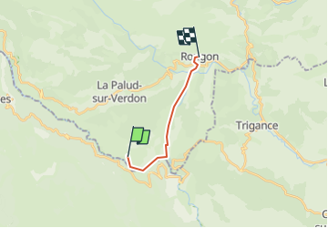

9.3 km | 20 km-effort


User


FREE GPS app for hiking
 SityTrail
IGN / Geographical institutes
SityTrail World
The world is yours!
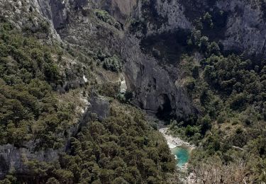
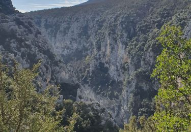
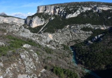
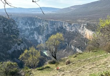
Trail Walking of 10.1 km to be discovered at Provence-Alpes-Côte d'Azur, Alpes-de-Haute-Provence, La Palud-sur-Verdon. This trail is proposed by Fayolle Chantal.
Randonnée longue . Être en bonne condition physique. En automne ou printemps pour évoter l'affluence estivale.

Walking

Walking

Walking
Walking
Walking
Walking
Walking
Walking
Walking